Field guide
Understand the geometry before saving a point
Keep the source observations, confirm the coordinate frame, and use independent evidence to choose a result.
Start with a boundary, not an unordered cloud of points
An area by coordinates calculator needs a sequence that follows the perimeter of the intended shape. A file of survey observations may contain control points, detail shots, repeated visits and points from several features. Those records do not become a boundary merely because they share one file. Identify the relevant boundary vertices and their order from reliable project information before calculating. This tool starts with source-file order so you can review it, but it does not claim that file order is correct or automatically sort points around a center.
Use the ordered source-line box to include only the vertices you need. Physical line numbers identify records even when point names are duplicated or a quoted CSV field spans multiple lines. Commas, spaces and line breaks separate the chosen line numbers. The report retains unselected source records and lists their physical lines, so a subset calculation remains traceable. Do not remove a difficult vertex simply to obtain a cleaner-looking outline; investigate its relationship to the boundary first.
Confirm a planar frame and the horizontal unit
Easting and Northing must describe positions in a common Cartesian plane. Map E and N explicitly when importing the file, then confirm meters, international feet or US survey feet. The area unit is the square of that horizontal unit, while perimeter uses the original length unit. Coordinates expressed in meters produce square meters and meters; coordinates expressed in international feet produce square international feet and international feet. A unit selection is a declaration, not a conversion of the input values.
Latitude and longitude do not meet these assumptions. A degree of longitude has a different ground length at different latitudes, so a planar shoelace result in square degrees is not a meaningful substitute for geodesic area. Transform geographic coordinates with an appropriate method before using this page, and record the chosen projected or local frame. Elevations and slopes are not used. The result is a horizontal planar area, not a terrain surface area, ground-scale correction or certified legal parcel measurement.
Understand the closing edge and repeated endpoints
The calculator joins each vertex to the next with a straight segment and then connects the final vertex back to the first. A four-corner rectangle therefore needs four records, not five. Some exchange files repeat the first coordinate at the end to express closure. That repeated record creates a duplicate vertex and a zero-length closing edge unless you explicitly enable the option to omit an exact final repeat from this polygon. The original record stays in the source report, with its omitted line identified.
The omission option only recognizes exact coordinate equality between the first and last selected records. It does not snap nearby points together, apply an unannounced tolerance or remove interior duplicates. A near-closing point is a distinct vertex until you make an informed edit to the source. Similarly, two different point names can describe the same coordinate, while the same name can appear at different coordinates. Geometry checks use coordinate values and report positions in the chosen sequence, rather than treating names as geometry.
Validate simple geometry before interpreting an area
A simple polygon has edges that meet only at the shared endpoints of consecutive edges. Nonadjacent crossings, touching vertices and overlapping edges violate that condition. A bow-tie outline may produce a small algebraic shoelace sum because positive and negative portions cancel; that sum is not accepted here as the area of a valid boundary. The tool checks the chosen order for repeated coordinates, zero-length edges, adjacent backtracking and nonadjacent intersections before making an area available.
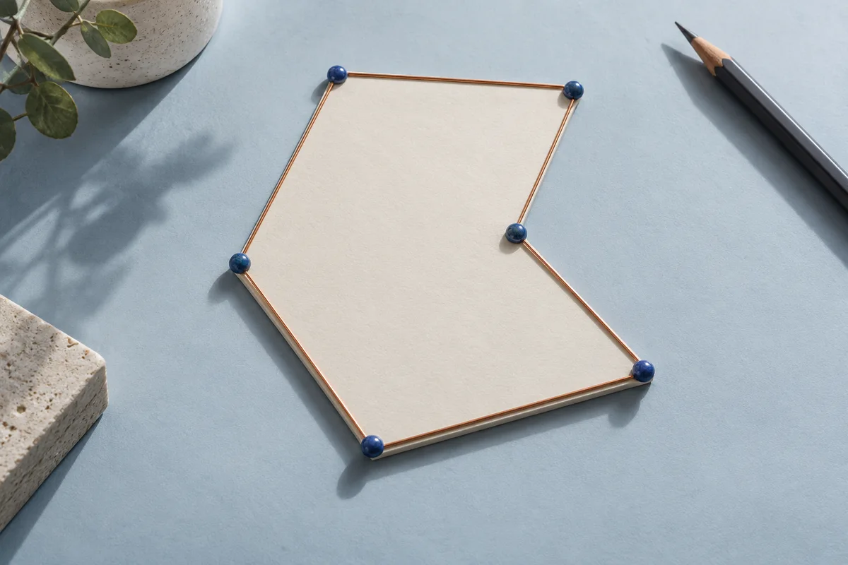
A concave shape can still be perfectly valid. An inward corner does not need to be removed or converted to a convex hull. Additional collinear vertices are also acceptable when they continue along an edge without folding back over it. Findings identify vertex positions or the starting positions of involved edges. Use those positions with the ordered table and original source lines to investigate the problem. Up to one hundred findings are displayed, while the total finding count and validation status remain explicit in the report.
Review area, perimeter and orientation together
For a valid boundary, area is the absolute shoelace sum divided by two. Perimeter is the sum of the horizontal distances around the complete closed boundary, including the final return edge. Reversing a valid sequence changes clockwise orientation to counterclockwise or vice versa, but it should not change unsigned area or perimeter. This is a useful review action when checking a transferred boundary. It is not a method for repairing a crossed order: reversal preserves the same edges and therefore the same crossing.
The table lists every ordered vertex and the length of the edge leaving it. The final row’s next edge returns to the first vertex. Click a row position to highlight that vertex in the diagram, or use the diagram’s arrow-key navigation to locate the corresponding table page. The diagram uses relative planar coordinates with north up and east right. It is a review aid without a basemap; its appearance cannot establish whether the entered boundary is the intended site feature.
Adjust the order deliberately and recalculate
Edit the source-line sequence, reverse it, restore file order, or use the table’s up and down buttons to move a vertex. Each change invalidates the previous result, and order-changing buttons require you to confirm the revised boundary again. This prevents a previously valid area from remaining attached to a newly edited sequence. If you need to change a coordinate rather than its position, edit the source copy and read it again. Keep the original file so that the correction can be explained.
The built-in ten by twenty rectangle is a synthetic example with area two hundred square meters and perimeter sixty meters. For a less regular shape, the public CGAL documentation provides four vertices at (0,0), (5.1,0), (1,1) and (0.5,6). That ordered concave example has area 5.3 square coordinate units. It is documentation data, not a surveyed parcel. Known examples are useful for checking the workflow, but your project still needs its own boundary and unit review.
Know when a calculation remains unresolved
The importer accepts up to one hundred thousand records within a ten mebibyte file. Geometry validation runs in a worker so the page can remain responsive and you can cancel the operation. A sweep comparison budget limits extremely complex cases. If that budget is reached, the result clearly says that validation is incomplete and disables the accepted-area export. It does not report an unchecked area as successful. Review or partition the source using a suitable geometry workflow when that limit is reached.
The visual preview draws complete boundaries with up to five thousand vertices. Larger valid inputs retain the full numeric result, vertex list and export even when the diagram is unavailable. The tool never simplifies the polygon merely to fit the screen. Coordinates are checked with exact decimal integer predicates for orientation and intersection decisions; perimeter still uses floating-point distances. Very large or very small geometries outside the supported numeric range remain unresolved rather than receiving an invented zero.
Keep the result and its vertex sequence together
Download the area and perimeter CSV for a concise result, the ordered-vertices CSV for sequence review, and JSON for the full source, options and validation findings. A valid area can also pass the original point fields to the DXF tool in the chosen order. In that next page, confirm the field mapping, choose a closed path and review the drawing settings; the transfer does not silently create a certified CAD boundary. Unknown source fields remain available in the report and transfer.
Screen values use six decimal places or scientific notation when necessary. Exports preserve the calculation result and original coordinate strings, so display rounding does not alter the input geometry. Additional digits do not establish measurement accuracy. Keep the coordinate reference, unit, boundary purpose and source file alongside the result. This first version handles one simple straight-edged polygon without holes, arcs or multiple disconnected parts. Use an appropriate GIS or CAD workflow for those more complex geometries.